

Experience the New Windnavigator Platform
Book a walkthrough and see how we can help your team save time and deliver stronger results.
Please wait…
The tools you trust — now in one place.
UL Solutions is continuously optimizing our ULTRUS™ software portfolio to best support your business’s goals. We have integrated the powerful capabilities of our Renewable Resource Assessment Platform (RRAP) into the Windnavigator Resource Data and Maps tool. The result is a unified platform that enhances the way wind professionals evaluate, analyze and develop wind energy projects.
With this new experience, you get:
- A modern interface for faster workflows
- Seamless access to data, mapping and analysis
- Interactive wind maps and advanced GIS data
- Preliminary energy estimates and turbine layout optimization
- Data to support development from greenfield to financing
No more switching between tools or managing multiple licenses. With a single login and consistent experience, users can move from early prospecting to pre-construction energy assessment in one connected environment.
As part of our Wind Developer Suite, this new integration works seamlessly with Windographer and Openwind. This means you can:
- Import mast data from Windographer directly into the unified platform for analysis
- Run preliminary assessments in RRAP with greater speed and clarity
- Refine layouts and energy models in Openwind without rework or data loss
This is more than a software update — it’s a streamlined approach to developing wind energy with confidence and efficiency.
Streamlined workflow
Manage wind projects with ease — optimize layouts, estimate yield using met mast data, and export results in flexible formats.
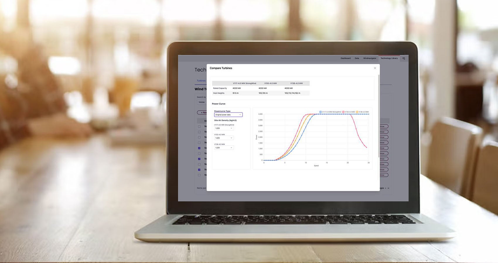
All-in-one wind tech library
Tap into a rich wind tech library — apply turbine models, detect nearby turbines, and access global wind farm data via OSM and The Wind Power.
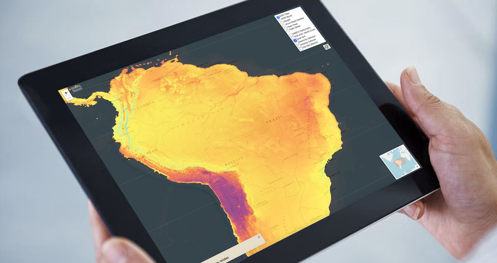
GHI layer now in ULTRUS Windnavigator
Gain deeper insight into solar potential with the new GHI layer — ideal for hybrid project planning and accurate site evaluation.

Custom elevation for WRG50
Choose your elevation model when requesting WRG50 data — gain more control and accuracy for terrain-sensitive wind assessments.
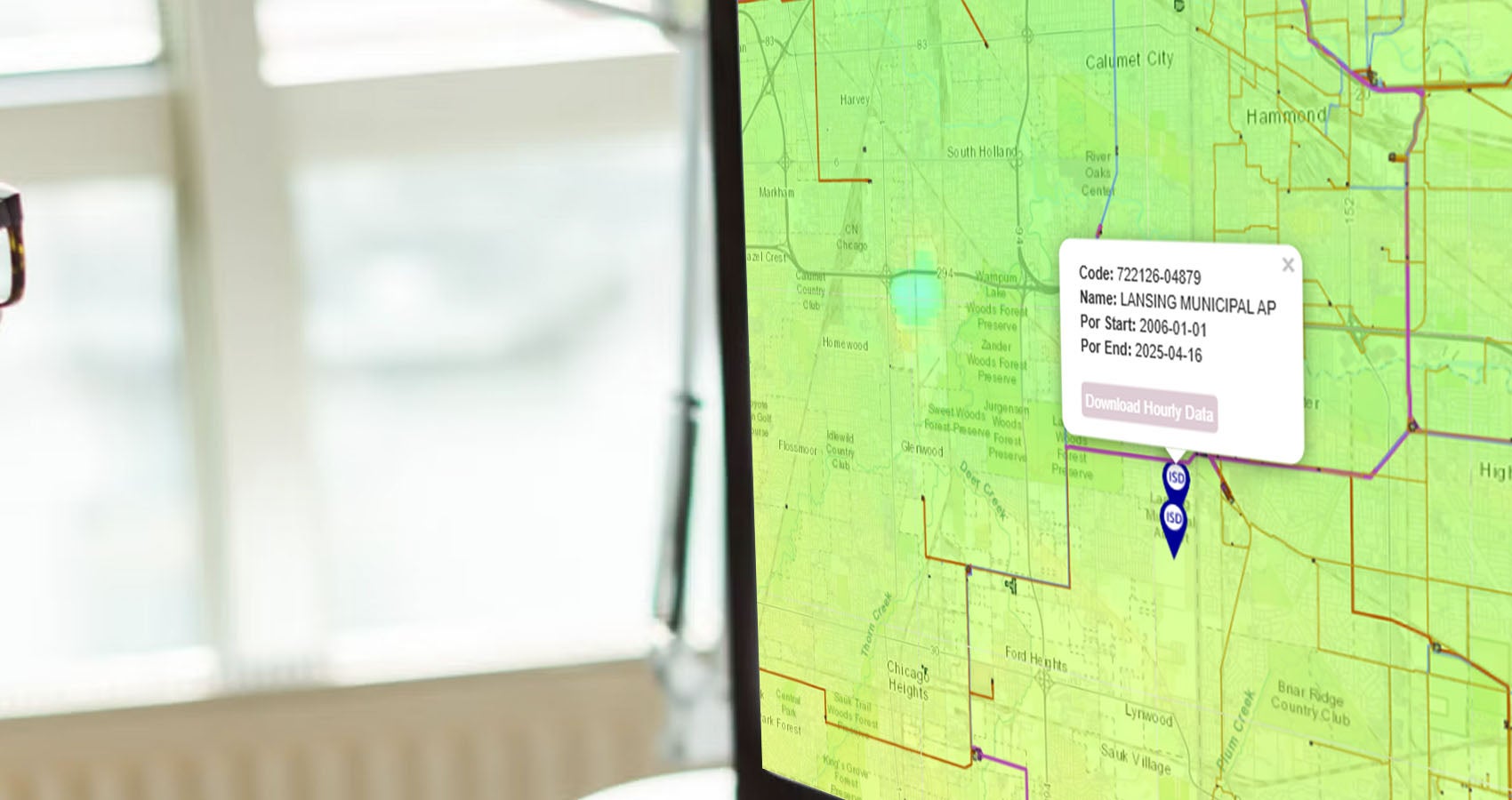
ISD weather data access
Access high-quality ISD data from global weather stations — enhancing validation and calibration of wind resource assessments.

One suite — all your wind tools
Import mast data from Windographer, assess in Windnavigator and refine in Openwind. No duplication or data loss, just seamless project flow.
Get a first-hand look at how this upgrade can help save your team time, improve accuracy and bring greater consistency to your wind project assessments.